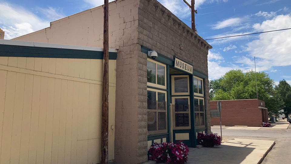
Myton, Utah
Named in 1905 for Major H. P. Myton, former Indian agent at Fort Duchesne.

On This Page
This Myton, Utah guide covers the community's history, location, population, phone, postal and gardening info, churches, schools, annual events, parks, cemeteries and government, public and emergency services.
Location
- County: Duchesne
- Elevation: 5,086 ft.
- Coordinates: 40° 11' 39.86" N, 110° 3' 42.54" W (40.1944043, -110.0618168)
- PLSS: Sec. 25 and 26, T. 3S, R. 2W, Uintah Special Meridian
Population
(2020 U.S. Census)
- Population: 561
- Housing Units: 211
Gardening Info
- Hardiness Zone: 5b
- Average Last Spring Freeze: May 22
- Average First Fall Freeze: Sept. 29
- Average Freeze-Free Days: 133.8
Community Directory
An essential directory of community amenities and features.
Churches
The Church of Jesus Christ of Latter-day Saints
location_on75 E. Main Street
Myton, Utah
Myton, Utah
Schools
Myton Elementary School
Con Amore School
Annual Events
Myton Daze
news
Myton’s community celebration, held at the end of June.
Parks & Cemeteries
Myton City Park
location_onMain and Center Streets
Myton, Utah
Myton, Utah
Myton Cemetery
location_on2580 W. 7500 South
Myton, Utah
Myton, Utah
Government & Public Services
Myton City
Emergency Services
Duchesne County Sheriff's Office
location_on21554 W. 9000 South
Duchesne, Utah
Duchesne, Utah
call435-725-4715 (non-emergency dispatch)
Myton Fire Department
location_on20 W. Main Street
Myton, Utah
Myton, Utah